Evidence-based communication strategies: Vital’s GIS platform
Evidence-based communication strategies: Vital’s GIS platform
Evidence-based decision-making requires that the right people have the right information at the right time and in the right formats. Bridging the divide between research and decision-making requires collaboration, communication, and knowledge translation. As the effects of contemporary climate and biodiversity crises are inevitably linked to geographic features - the morphological, functional and environmental characteristics of a given context -, visualizing spatial data is a key strategy in communicating and translating knowledge in order to reach different actors.
One of the challenges to preserve wetlands sustainably is that wetland users and decision makers need a clearer idea of the impacts of different management and policy regimes on the ecological state of the wetland, its functioning, and the associated benefits for people. This is reflected in current trends in environmental management, as well as urban planning, which are merging future threats with considerations linked to historic and lingering issues including social inequalities, urban pressures and planning oversights. It has also led to the rise of non-governmental organizations in response to the ineffectiveness of governments and the shortcomings of the private sector in pursuing narrow objectives like “profit maximization” in purely financial terms. Against this background, with direct access to new and powerful information communication technology, citizens now find themselves with the possibility to be better informed and stronger agents for participation in decision-making processes concerning the planning and management of their local environment and landscapes.
Improving integration between different types of information about community circumstances is one of the reasons for using geographic information systems (GIS). Through broader access to GIS data, people can better understand public and public-private issues at various scales. In fact, participatory decision making is growing in importance and recourse to spatial information is increasingly necessary for individuals and institutions. Information technology alongside the involvement of many stakeholders groups enables collaboration and together with the Internet it has facilitated new trends in democratization of access to spatial data and maps. Moreover, the transfer of research findings from the academic realm to stakeholders is also facilitating social change.
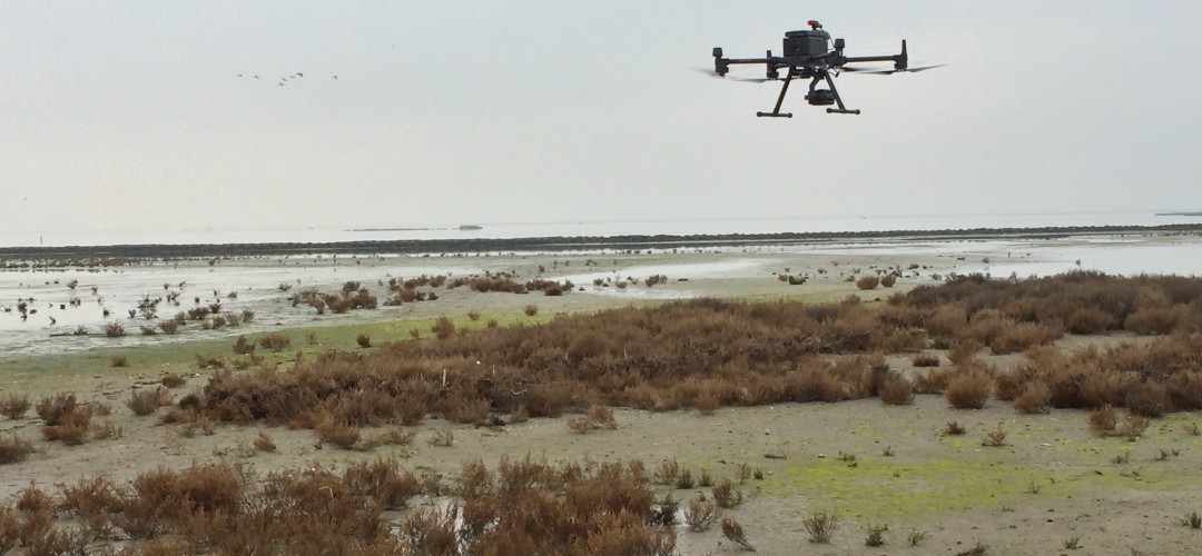
The only static phenomena in the Venice lagoon are human constructions; the rest of the landscape is highly dynamic as it changes with tidal movements
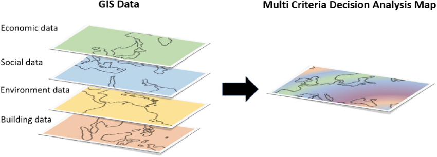
Due to the complex characteristics of the lagoon it is necessary to understand not only the individual components of the morphology, but also the entire ecosystems - and their relationships - in order to plan the conservation and restoration project efficiently. Geographic Information Systems (GIS) have indeed the merit to present the bigger picture, also encouraging data and information sharing about wetland at different scales, which can contribute to wetland study and general environmental education.
Nonetheless, given the rich variety of both features and uses of the natural environment, it is no surprise that different information communities have highly heterogeneous terms, descriptions and interpretation for the natural environment. Spatial decision problems typically involve a large set of feasible alternatives and multiple, conflicting and incommensurate evaluation criteria. Reconciling these different perspectives requires representations of the natural environment that allow for the different context and meaning of key terms.
What’s more, the natural environment is subject to constant change. Reflecting this dynamism is a key challenge in its representations to press prevailing “business as usual” planning processes to innovate in order to cope with what will come next. Recently, GIS has been employed to explore both physical and social dynamic geographic phenomena, combining with other geographic research methods such as multi-criteria decision analysis (GIS-MCDA). This approach emphasizes processes and changes more than just static patterns and distributions, thus leaving space for legitimate simulation and experimentation for future decision support and prediction particularly for dynamic geographic processes and for detailing future scenarios in specific domains.
GIS systems are effective in bringing together Venice lagoon stakeholders
More specifically, to be considered in the context of Vital’s ecological restoration objectives, is the fact that the only static phenomena in the Venice Lagoon are human constructions, such as buildings or sea defenses. All other phenomena normally classified as static, such as the area of salt marshes, must be considered dynamic phenomena. In fact, low tide areas and intertidal ecosystems, representing about 25% of the whole lagoon, are particularly dynamic phenomena as their boundaries change continuously with the tidal movement. Thus, lagoon-based spatial analysis has the challenge of reflecting these periodic and transient factors characterizing amphibious territories, showing current (precarious) morphological and ecological conditions and how they are evolving over time, presenting the problematic points in a visually intuitive way. This will in turn characterize the exploration and geo-visualization of spatial data through maps for structuring our understanding of the ecological restoration of the lagoon, achieving different levels of agreement among actors.
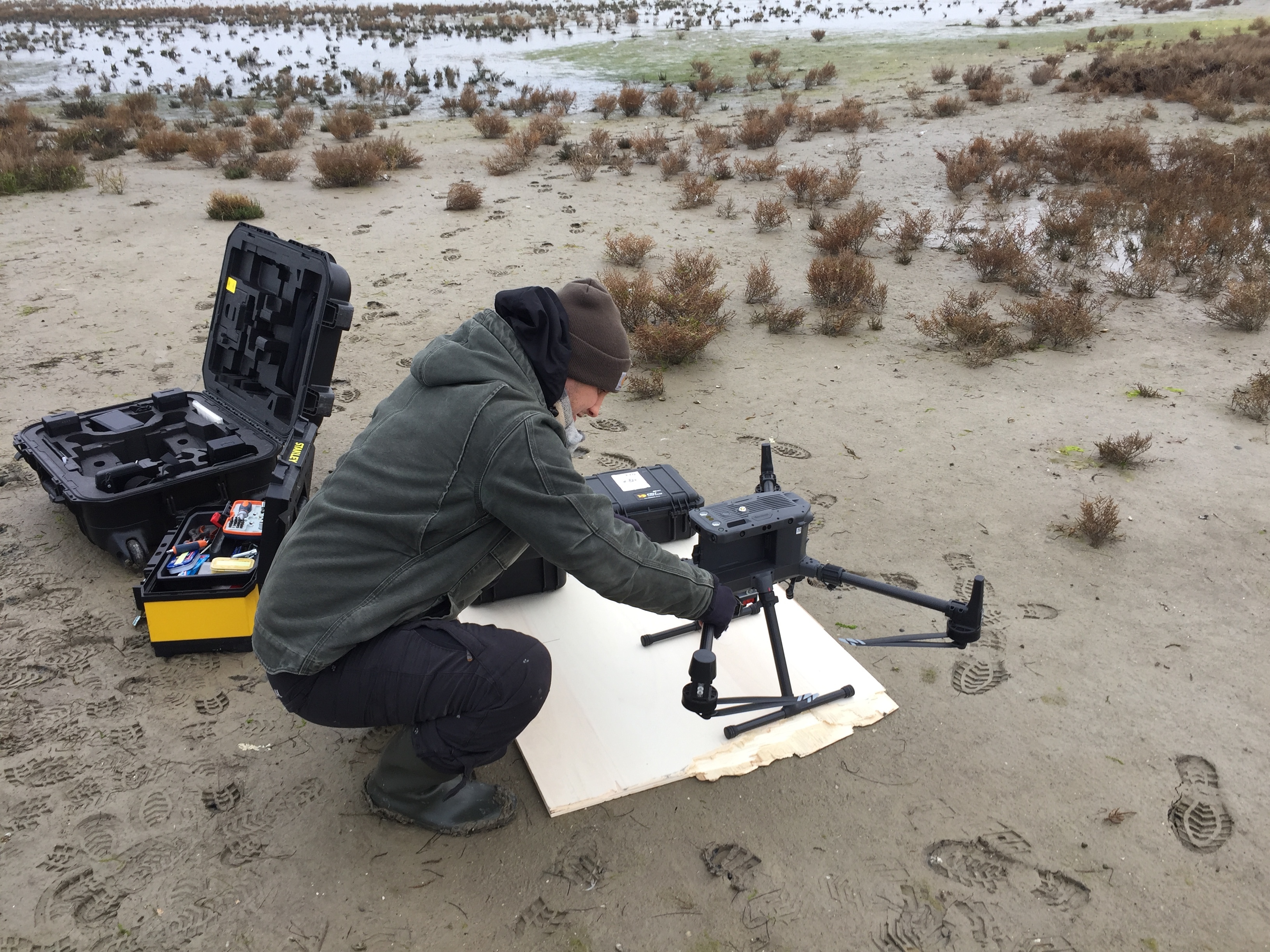
To this end, the Vital team has been working since 2019 on combining separate maps, databases, scientific studies, aerial photos as well as traditional local (sometimes informal) knowledge(s) into a single GIS environment. This has been made possible thanks also to the data made available by theInterregional Superintendency of Public Works (Provveditorato) and the North Adriatic Sea Port Authority (Autorità Portuale)concerning the morphological interventions carried out in the Lagoon so far and on what is planned for the near future, including official maps, design documents, and results of the monitoring activities. Moreover, the GIS environment around the pilot sites is further detailed with additional information from Vital’s own monitoring campaign (see WahV team article of June ‘22). This demonstrates how GIS systems are effective in bringing together different actors in order to produce integrated and informed propositions for the environmental, social and economic landscapes of the Venetian lagoon. For this, Vital’s GIS system and associated databases will ultimately be publicly available.
◾